In an era where events transcend the confines of traditional formats and embrace the realm of technology, the significance of attendee experience has taken center stage. Event organizers, keen on orchestrating seamless and memorable experiences for participants, are increasingly turning to innovative tools to elevate engagement and convenience. Among these tools, the incorporation of interactive maps within mobile event apps stands out as a pivotal element in shaping the way attendees navigate, interact, and ultimately derive value from their event experience.
Imagine a scenario where attendees seamlessly traverse through a bustling event venue, effortlessly locating keynote sessions, networking hubs, or their favorite food stalls. Interactive maps within mobile event apps offer precisely this—an opportunity to revolutionize the event-going experience. These dynamic maps not only serve as navigational aids but act as gateways to a wealth of information, interactivity, and personalized experiences for attendees. Moreover, the integration of interactive maps aligns perfectly with the current mobile-centric culture. It caters to the preferences of modern event-goers who rely on their smartphones for instant information and navigation.
The advantages are multifaceted. In this article, we’ll explore how these dynamic tools are enhancing attendee experiences and revolutionizing the event landscape.
Benefits of Interactive Maps
Here’s how they simplify the attendee experience:
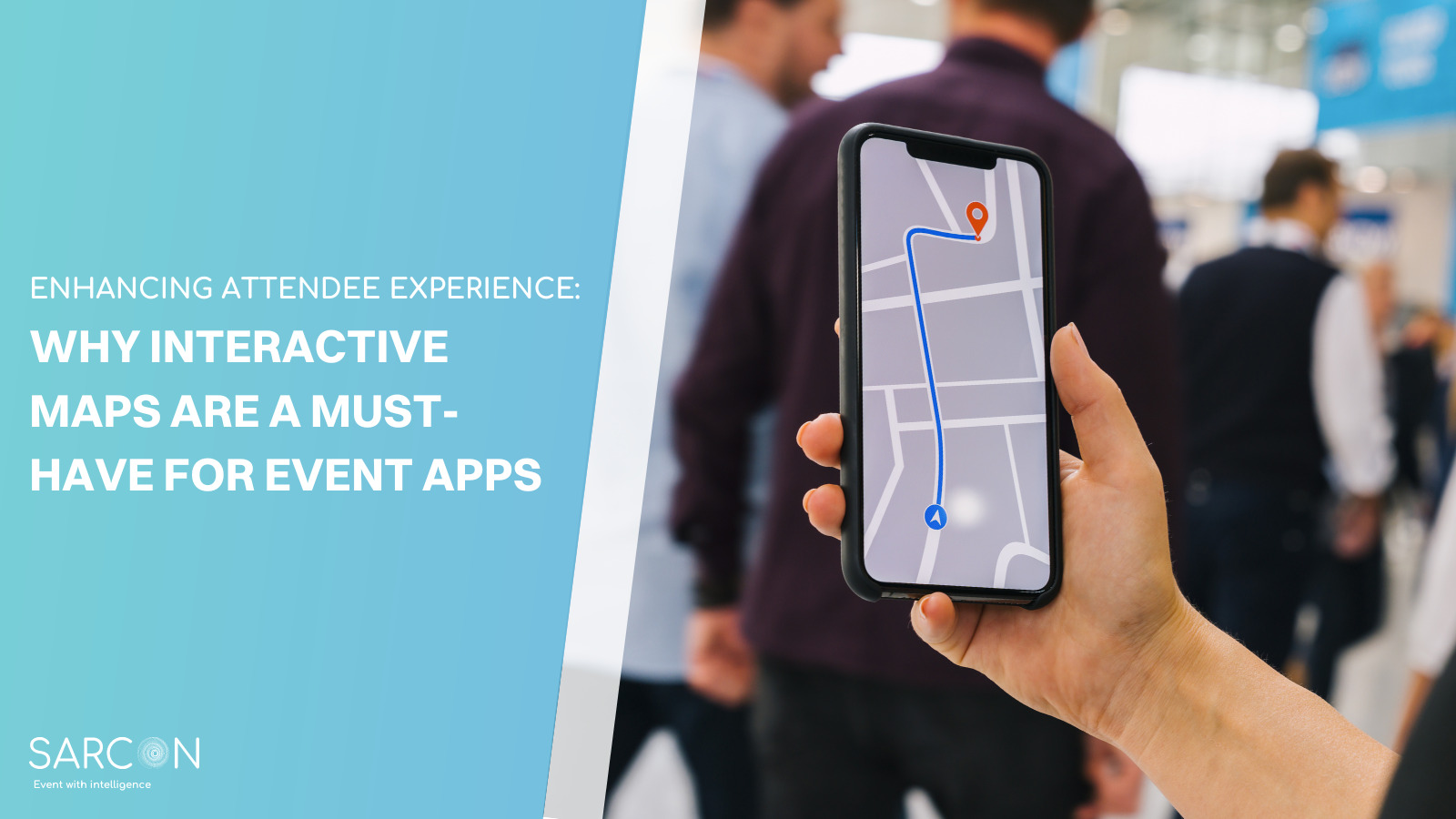
Seamless Event Navigation
One of the standout features of event apps is the ability to provide real-time, GPS-enabled navigation within the event venue. Attendees can effortlessly find their way to various sessions, workshops, booths, or any other points of interest. It eliminates the need to rely on physical signage, making navigation more intuitive.
Personalized Schedules
Interactive maps allow attendees to create personalized schedules. They can select the sessions or activities they want to attend and add them to their itinerary. The app then generates a customized map that guides them through their chosen agenda, ensuring they never miss an event.
Live Updates and Alerts
Event apps with interactive maps provide live updates and alerts. If a session changes location, there’s a delay, or an important announcement is made, attendees receive immediate notifications. This feature keeps everyone informed and ensures they can adapt their plans as needed.
Exhibitor and Booth Information
For trade shows and exhibitions, interactive maps can display exhibitor and booth information.These maps often come with additional features like clickable booth or location markers, providing further details when selected. Attendees can easily locate specific vendors, access their details, and even receive recommendations based on their preferences, making networking and exploration more efficient.
Accessibility Features
Interactive maps in event apps can include accessibility features for individuals with disabilities. This ensures that all attendees can enjoy the event with ease, regardless of their specific needs.
Networking Opportunities
The maps often include networking features, allowing attendees to connect with others who share their interests or goals. This not only enhances the overall event experience but also fosters meaningful connections.
Real-Time Feedback
Attendees can provide real-time feedback on various aspects of the event through the app. Organizers can use this information to improve the event on the fly, creating a more enjoyable experience for everyone.
Traffic Management
Large-scale events often face issues related to crowd control and traffic flow. Integrated navigation systems can help in managing attendee movement, preventing congestion and optimizing traffic flow.
Sponsorship and Revenue Generation
The interactive maps can be leveraged for sponsored content, allowing event organizers to generate revenue by offering premium placements or sponsored markers within the app’s navigation system.
Data Collection and Analytics
Organizers can collect valuable data on attendee movements and interactions through interactive maps. This data can be used to improve future events, understand attendee behavior, and enhance the overall event experience.
Conclusion
The integration of interactive maps and navigation features in event apps has undeniably transformed the way we experience events. From seamless navigation to personalized schedules and networking opportunities, these digital tools have simplified the attendee experience in numerous ways. As event technology continues to advance, we can expect even more exciting developments that will further enhance our event experiences.
Remember, in the modern world of events, having the right event app can make all the difference in your attendee experience. So, stay updated and explore the ever-evolving world of interactive maps and navigation in event apps.
FAQs
How do interactive maps benefit event organizers?
Interactive maps help organizers track attendee movements, gather data, and make real-time adjustments to improve event logistics and flow.
Are these apps compatible with all devices?
Yes, event apps with interactive maps are typically available for both iOS and Android devices, ensuring accessibility for all attendees.
Can attendees use interactive maps offline?
Some event apps offer offline functionality, allowing attendees to access maps and schedules without an internet connection.
Can event apps replace traditional event signage?
Event apps with interactive maps can significantly reduce the reliance on physical signage, making the event more sustainable and cost-effective.